


€230.00*
- 2-year guarantee
Delivery time: 2-5 days
.jpg)
.jpg)
.jpg)
.jpg)
Description
This standalone GPS-to-CAN module generates GNSS position and 3D inertial data (via a gyroscope and accelerometer) and outputs it via configurable CAN bus frames.
The module supports "Untethered Dead Reckoning" - this means that even if the GNSS signal is completely lost, the module can provide continuous positioning through IMU-based estimates (no external inputs required).
You can integrate the module into any CAN bus, e.g. vehicle networks or CAN hardware. For example, you can use it as a plug & play add-on module for the CANedge .
Features
PLUG
Standalone - no PC required. Integrate it into any CAN bus to add GNSS/IMU data. DBC includedCOMPACT
Only 7 x 2 x 5 cm. 70G. Aluminium housing. 4 LEDs. 5-26 V DC via DB9. USB for configuration/firmware/streamGLOBAL SETTING
1 Hz GNSS position. Warm start via battery backup. GPS, Galileo, BeiDou, GLONASSInertial data
Built-in gyroscope (roll, pitch, yaw) and accelerometer (X, Y, Z). 100 Hz frequencySENSORFUSION
High-precision position and attitude data through sensor fusion of GNSS/IMUCONFIGURABLE
Configure CAN IDs, bit rate, data frequency and geofences via the JSON configuration and GUI
Add GNSS/IMU data to any CAN bus system
With CANmod.gps you can easily add position and 3D inertial data to your CAN bus - e.g. for use by ECUs or CAN hardware.
- Compatible with any high-speed CAN bus (2.0A, 2.0B)
- Fully configure CAN IDs, bit rate and message frequency
- Power supply with 5-26 V DC via standard DB9 adapter cable
- Optionally, you can record the data via any CAN interface/logger/... .
- Example: Use as an add-on for the CANedge (power supply via 2nd port)
- DBC file included for easy decoding into a human-readable form
- Optionally stream sensor data via USB in real time
- White label e.g. for integration into your production
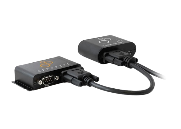
Example: Add GNSS/IMU data to CANedge protocol data
Easily extend your CAN/LIN data from CANedge2 with GNSS/IMU information by connecting the CANmod.gps to the 2nd port.
Check out the online playground with OBD2 + GNSS/IMU data at
- or learn more in our intro!
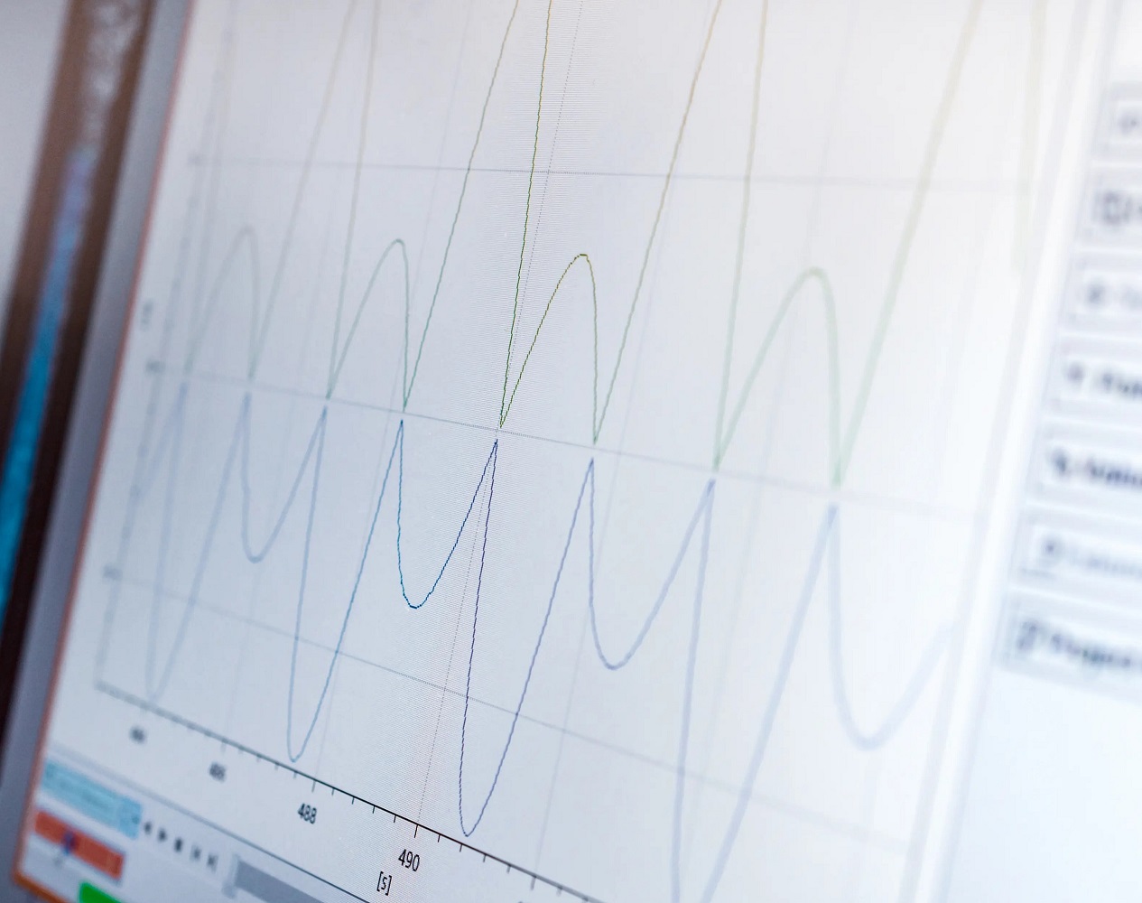
GPS and 3D-IMU - Enrich your data
The following functions and data can be used and recorded with the help of GPS and 3D IMU


Technical Data
| Model specification | 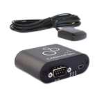 CANmod.gps |
|---|---|
| Functionality | The configurable device generates GNSS/IMU data and outputs it via CAN bus and/or USB |
| Included | CANmod.gps module, u-blox GPS antenna and USB dust cover (mini-USB adapter not included) |
| Firmware | Supports free firmware updates via USB to add functions |
| Configuration | Configuration files based on the popular open source -JSON schema concept (similar to CANedge) |
| Software | Free open source editor tool for easy device configuration (offline/online version available) |
| Safety and security | CE, FCC, IC and RoHS certified (certificates can be found in the documents) |
| Warranty | 1 year warranty |
| Support | Free, fast and high-quality support |
| Country of origin | Denmark |
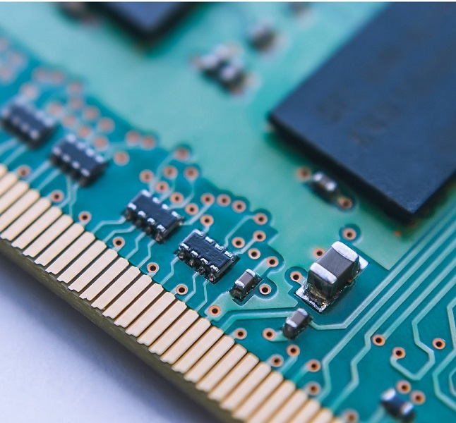
| Module | Professional u-blox NEO-M8U (72-channel) sensor with integrated gyroscope and accelerometer |
| GNSS | Supports (combinations of) GPS (USA), Galileo (Europe), BeiDou (China), GLONASS (Russia) |
| Geofences | Supports 0-4 configurable circular geofences (status is sent via CAN bus) |
| Sensor fusion (UDR) | Improved position accuracy through sensor fusion ( UDR ) of GNSS and 3D-IMU (automotive only) |
| Acquisition | Cold starts: 26 s | Supported starts: 3 s | Resumption: 1 s |
| Sensitivity | Tracking/navigation: 160 dBm | Cold starts: 148 dBm | Hot starts: 157 dBm |
| Battery backup | The module has a backup battery to perform "assisted starts". (3 s) between power cycles |
| Accuracy | Position: 2.5 m CEP (circular error likely) Heading: 1 degree (50 % at 30 m/s) Speed: 0.05 m/s (50 % at 30 m/s) |
| CAN signals | The module communicates several GNSS/IMU signals (a complete list can be found in the documents or in the DBC file). GNSS position: Longitude and latitude information [1 Hz] GNSS time: Precise GNSS-based epoch timestamp [1 Hz] GNSS status: Fixed type (NO/UDR/2D/3D/GNSS+UDR) and number of satellites [1 Hz] GNSS speed: Cruising speed in metres/second [1 Hz] GNSS altitude: Altitude information in metres [1 Hz] GNSS attitude/alignment: Roll, pitch, heading [1 Hz] GNSS odometer: Distance travelled (since power on and total) [1 Hz] 3D-IMU: Gyroscope-based angular velocity (X, Y, Z) and accelerometer-based acceleration (X, Y, Z) [100 Hz] Geofences: Status of configured geofences [1 Hz] |
| Channels | 1 x CAN channel |
| Modes | The device can either send the data to the CAN bus or provide it on request |
| Standard | ISO 11898: Compliant with CAN (up to 1 Mbit/s) |
| Identifiers | Compliant with CAN specifications 2.0A (11-bit ID) and 2.0B (29-bit ID) |
| Termination | Termination can be changed using the switch under the DB9 connection |
| Retransmission | Retransmission of frames that have lost arbitration or have been disturbed by errors |
| Transceiver protection | Protection: +/- 25 kV HBM ESD, +/-12 kV IEC ESD, +/-14 V bus error, short circuit Common mode input voltage: +/-12 V TXD-dominant timeout (prevents network blocking in the event of an error) |
| Bit rate | Choose between standard bit rates (5K to 1M) or use customised bit timing |
| Enable Disable | Enable/disable each CAN message individually |
| Identifier customisation | Configure CAN IDs for all messages individually (11-bit or 29-bit) |
| Push/poll mode | Configure individual "trigger" modes for all messages (push or poll) |
| Frequency | Individually configure the prescaling of the standard message frequencies to lower rates |
| IMU correction | Optionally compensate the alignment of the module as part of the IMU configuration |
| Input supply | +5V to +26V DC via the DB9 connector (power supply via pin 1 or pin 9) Alternative power supply via USB (for updating firmware/configuration or streaming data in real time). |
| Power consumption | Extremely low (<1 W) - No risk of battery discharge |
| Protection | Reverse polarity protection of the CAN bus supply Protection against transient voltage events on supply lines |
| Housing and weight | Compact aluminium housing: 52.5 x 70.0 x 24.5 mm (L x W x H) excl. antenna, 70 grams |
| Connector | 1 x standard D-Sub 9 connector (DB9). |
| Pin assignment | Information on the pin assignments of the DB9 connector can be found in the product manual |
| USB | Standard mini-USB port for configuration/firmware updates and streaming (USB cable not included) |
| LEDs | Module status via 4 external LEDs: Power, CAN bus, memory, GNSS |
| Operating temperature | Operating temperature (parts): -25 °C to +70 °C |
| IP rating | IP protection class 40 |
| Mounting | The module can be mounted using robust double-sided adhesive tape, cable ties or a mounting bracket, for example |
| GPS antenna | u-blox ANN-MS-0-005 (SMA connector, 5 m cable, magnetic base, -40 to +85 °C, 48 x 40 x 13 mm) |